Mapping Medieval Peoples
Visualising Semantic Landscapes in Early Medieval Europe
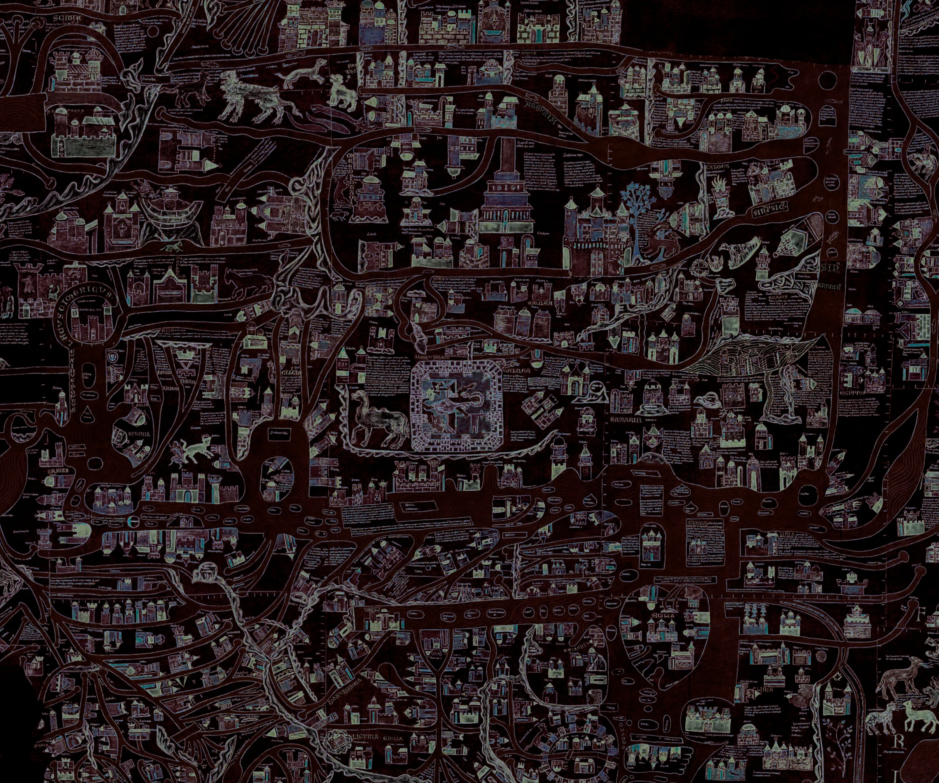
Mapping Medieval Peoples (MMP) examines medieval perceptions of peoples and space and the intellectual frameworks in which they came into being through reconstructing the mental maps of medieval authors. As medieval conceptions of space were expressed and developed primarily through narrative, in MMP we have developed applications for network analysis and geovisualisation, using an interdisciplinary approach which allows us to visualise narrative descriptions of space. This allows us to elucidate how space and the peoples inhabiting it were described and imagined, and to make the different angles from which ethnic groups were described more visible, while bringing out the complexities and ambiguities of ethnic terminology.
This project has received funding from the ÖAW Innovation Fund Research, Science and Society (2020-2023)
Hosted by ACDH-CH & Imafo